České Žleby (Böhmishe Röhren)
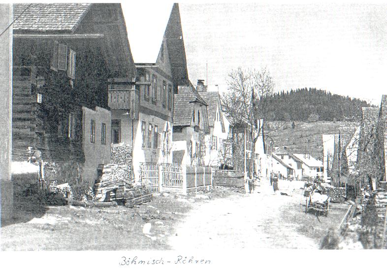
This highest elevated settlement in the southern part of the Šumava National Park and Protected Landscape Area went through the era of the greatest boom and the worst tragedy at the same time in the past century. In 1930's, over 1000 people, predominantly of German nationality, lived here. There were four pubs and hotels, five general merchandise shops, a post office with a telephone and a telegraph, financial guard, a general practitioner and tens of traders and craftsmen. After the Munich Agreement of 1938, only the citizens of German nationality remained in the village.
After the World War II, the Germans were displaced from the area and - as the village is situated "only a few steps" from Bavaria - the after-war period was not favourable for České Žleby neither. Just behind the village the Iron Curtain grew up and there almost was no resettlement in the area. The post office was cancelled in the after-war period and the Baroque St. Anna Church was pulled down in 1967. Today, only a memorial stone plaque is situated in place of the former church and a Czech-German mass is held here each year sometime around the saint's day of the Assumption of the Virgin Mary. In present, there are only a few tens of permanent residents in this former village with local administrative competence, nowadays falling under the administration of Stožec.