Horní and Dolní Světlé Hory
Horní Světlé Hory
The village inhabitants made their living by cattle breeding and smuggling. During the inter-war period the village was a headquarters of the financial guard station. So-called pagan stones can be found at the nearby Homole mountain. The village administratively fell under authority of Strážný (former Kunžvart). In 1910 the village had 70 houses and the total of 440 inhabitants (of that 438 of German and 2 of Czech nationality). In 1930 there were 70 houses with 363 people (360 of German and 3 of Czech nationality). And only 1 house with 4 inhabitants had been preserved to 2005!
Dolní Světlé Hory
The oldest historical record of the village dates back from 1760. The first settlers were wood-cutters, for whom the Prince of Schwarzenberg let build simple timbered houses. The name of the village (translated as Lower Light Mountains) was derived from local broad-leaved, mostly beech forests. The Jews expelled from the South-Bohemian inland temporarily found a refuge in the place around 1814. They made their living by potash production for the glass-works in the neighbourhood and by recasting of the old war armour that could be found in rather large amounts in vicinity. Later on the Jews moved to Čkyně, Zdíkov and Vlachovo Březí. In 1910 there were 30 houses standing in the village with 189 inhabitants (187 of German nationality). There was a pub U Loise (an American Arborvitae reminds us of the place) and there used to be a brick chapel.Rural farmsteads of Dolní Světlé Hory were distributed along the road carved into the slope of Gais Berk Mountain, the peak of which is already placed in Bavaria. In some places the road is bricked up into the slope up to the height of two metres and is lined with a hundred years old ash-trees and elm-trees. Each homestead had its own stone basin serving as a reservoir of clear spring water and the overflow of which fed small ponds.
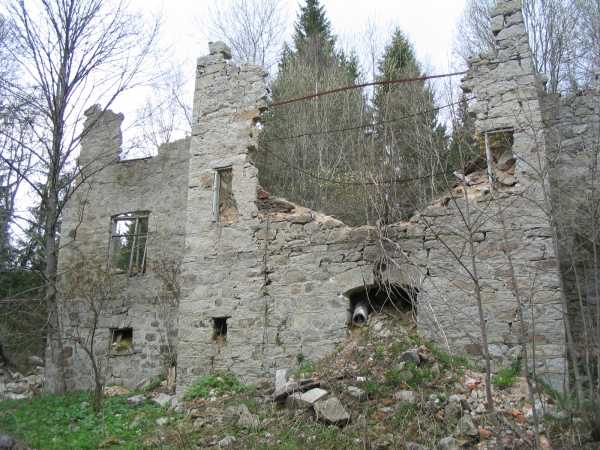
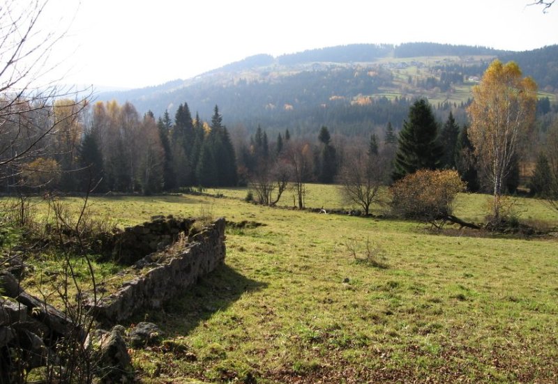
After the establishment of the restricted borderline zone, Dolní Světlé Hory, as well as neighbouring Stodůlky and Horní Světlé Hory, were razed. Nowadays, only former pastures and stone walls remind us of the village.