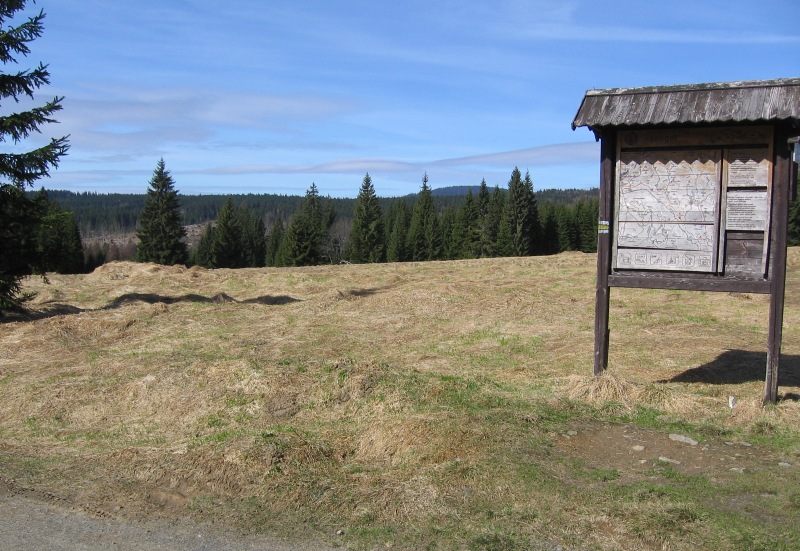
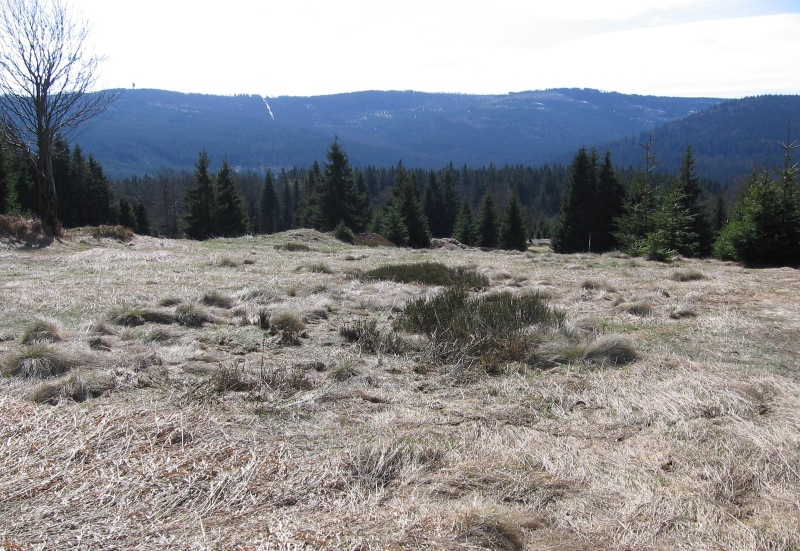
The frontier crossing point with Germany, in the distance of 4 km from Prášily, used to be a part of so called Vintíř (Gunther) Path. It got its name after the forest village that used to be situated in the vast plain in its vicinity. The village of Gsenget was founded in 1772 by the Earl Kinský to provide potash for the glass production and in times of its greatest flourishing had together with neighbouring Horní and Dolní Ždánidla 25 houses and one mill. Remainders of the buildings are still noticeable today. The frontier crossing point is designed only for pedestrians and bikers.