Filipova Huť
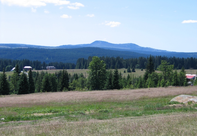
This part of the village of Modrava is placed on southern slopes of Sokol mountain, in the valley of the Filipohuťský stream, at the altitude of 1093 m, which makes it the highest elevated settlement in the Czech Republic. The place offers open view of the frontier panorama dominated by the Bavarian peaks of Roklan mountain.
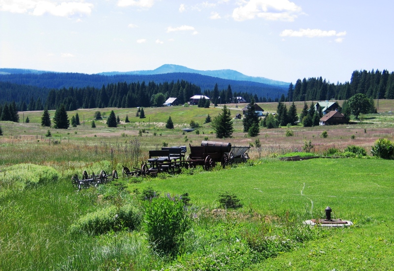
Foundation of Filipova Huť as a settlement is attributed to the establishment of the glass-works manufacturing hollow glass by Franz Denk and Franz Weber from Horní Hrádky (Schlösselwald) in 1785. The historical Golden Path from Kašperské Hory to Passau run through the place, which was bordered by a range of service buildings. This was for instance the case of the settlement named Korýtko (meaning Through), where the pack animals used to be fed and watered. Filipova Huť got its name after the owner of the estates Filip Kinský. The glass-works came to an end in 1820 and further prosperity of the village fully depended on logging. Till the end of the World War II Filipova Huť was an administrative municipality in competence of which fell the settlements of Preisleiten, Modrava (Mader) and Březník (Pürstling). After the war, German inhabitants were displaced from the village similarly as from the other borderline villages, its vacated houses were demolished and Modrava became the administrative municipality.
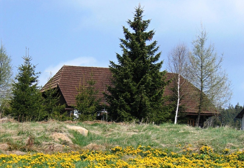
Amongst the preserved buildings stands out the homestead No. 12 with the unique and rarely extant elevated ramp to the barn, which was listed as an immovable cultural monument. The homestead bears the name after its former owners, the family of Lohrs, and is called Lorka.