Filipova Huť, Korýtko
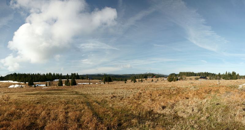
Filipova Huť is the highest elevated Šumava settlement situated in the valley of the Filipohuťský stream on the mountain meadows and amidst the forests, in the peat-bog area of the Plains (Pláně). The village around the glass-works manufacturing hollow glassware was founded in 1785. After completion of the Vchynicko-tetovský Floating Canal in1800, the village started to be connected with forestry and wood-cutting. The glass-works wound up in 1820.
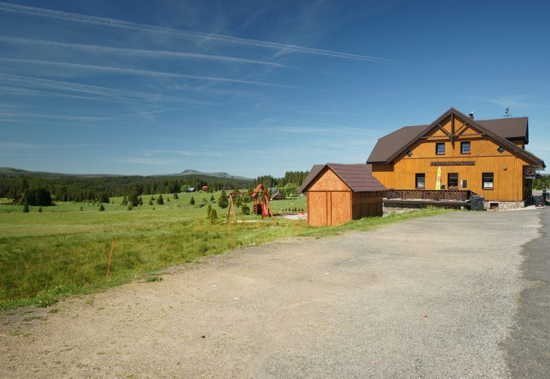
The rural house No. 16 with a remarkable and in Bohemia rarely preserved elevated ascent into the barn, was declared a Village Cultural Monument. Besides that, there are several other typical houses with the preserved characteristic original constructional elements.
Filipova Huť offers one of the most beautiful views of the second highest Šumava mountain - Roklan - also nicknamed as the Breasts of Our Lady.A small settlement with several houses called Korýtko is situated at the outskirts of Filipova Huť. In the Middle Ages, the Golden Path leading from Kašperské Hory past Horská Kvilda to Bavaria and Passau used to traverse this place. The village (whose name can be translated as Trough) was named after wooden troughs for feeding and watering of horses and mules.The place offers view of both peaks of Roklan mountain.